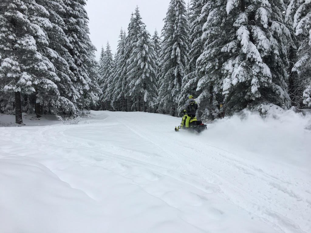
Much of Washington is accumulating snowpack faster than normal so far this fall, a small victory for a state plagued by drought all summer.
A very small victory.
The trend isn’t expected to continue, climatologists say. Early snowpack data is limited and winter doesn’t officially begin for yet another month.
Early snowfalls can sometimes set the tone for the months ahead but this year El Niño conditions are expected to begin pushing warm, tropical air into the Pacific Northwest, likely cutting into Washington’s much needed snowpack over the winter.
“I’m hoping for a good year but betting on a bad one,” said Karin Bumbaco, Washington’s deputy state climatologist.
To date, the area around north Puget Sound has seen 133% of normal snowpack, according to data collected by the U.S. Department of Agriculture’s National Water and Climate Center. Areas in central and south Puget Sound have seen snowpack 160% and 163% of normal.
Similarly, land across the Olympic Peninsula and throughout the basins of the Columbia and Yakima rivers have all seen higher-than-normal snowpack, the data shows. Only areas in the far northeast (including Spokane) and southeast (including Walla Walla) are below average, with 70% and 44% of normal snowpack, respectively.
But Bumbaco said those data points don’t provide much insight. Snowpack already recorded has only come from a few storms. The bulk of the winter — Washington’s most productive months for snowfall — are in the months to come.
Climatologists are expecting a strong influence from El Niño conditions this winter, meaning the state will be warmer-than-normal, Bumbaco said. Moisture that might normally fall as snow would instead fall as rain, running through the state’s watersheds rather than remaining frozen.
That translates to less water in the springtime and ultimately next year’s dry summer season, said Guillaume Mauger, a research scientist with the University of Washington’s Climate Impacts Group.
“Snowpack is like nature’s water bottle,” Mauger said.
Not only is the quantity of snowpack important but so too is when it melts, Bumbaco said. Should snow melt too early much of the moisture is lost for when Washington would need it most. This can compound the effects of drought year after year.
For example, Washington saw a fairly typical amount of snowpack last winter, Bumbaco said, but an early and aggressive melt off in May forced the state into drought conditions almost right away.
State officials declared a drought emergency across a dozen counties this summer and utilities have imposed mandatory and voluntary water restrictions on their customers, hoping to conserve the resource. Seattle City Light will also raise rates in January to recoup millions lost after a poor year of hydropower production.
El Niño and the inverse La Niña are natural phenomena, Mauger said. But the conditions forecast for this winter will provide insight into the years ahead as climate change — caused by humans burning fossil fuels — warms the globe. State and local officials should take note of water availability now and in the months to come, he said.
“These are dress rehearsals for the future,” Mauger said.