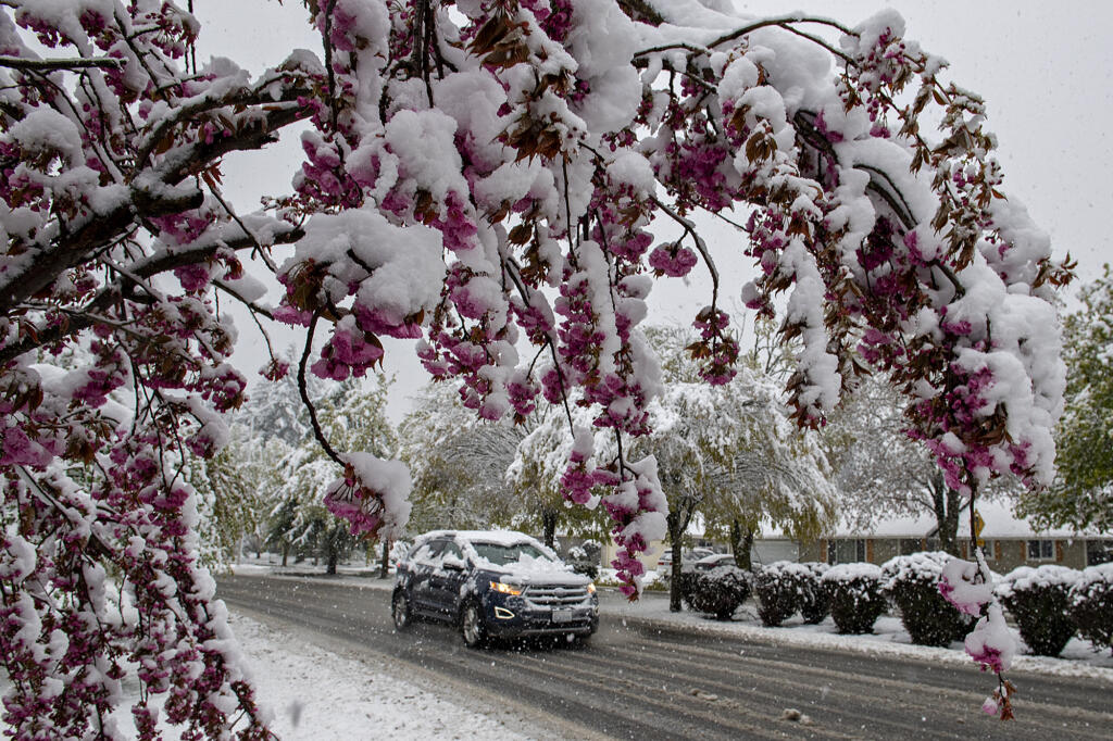
The National Weather Service in Portland has issued a Winter Weather Advisory for the Vancouver area, predicting 1 to 3 inches of slushy snow could fall after 10 p.m. Tuesday night through 6 a.m. Wednesday morning.
The advisory, issued early this afternoon, updates an earlier forecast that speculated most of the snow might fall north of Vancouver or in the hills.
The advisory states that the greatest accumulations are expected north and east of Vancouver, including Longview and Castle Rock in Cowlitz County.
An overnight low near freezing is forecast for Vancouver. Slightly warmer air is expected by mid-morning Wednesday, pushing the snow into the hills.
Should the forecasted snow materialize, slick roads could present a challenge for school buses for Clark County districts with rural routes Wednesday morning. Visit columbian.com/school-closures for the latest from Southwest Washington school districts.
Heavy snow is expected above 1,500 feet tonight with the very northern tip of Clark County included in a blizzard warning for the Cascades.
“An active winter weather pattern is expected for the next week across SW Washington and NW Oregon,” NWS Portland said. “Dangerous blizzard conditions will occur along the Cascades above roughly 3,000 feet into Wednesday.”
Snow mixed with rain is in the forecast for much of Clark County through the holiday weekend with overnight lows in the mid-20s and daily highs in the 30s.