Some years, it’s as late New Year’s Day before winter recreation areas of the Gifford Pinchot National Forest have a quality snowpack for cross-country skiing, snowshoeing and snowmobiling riding.
But not this La Nina winter.
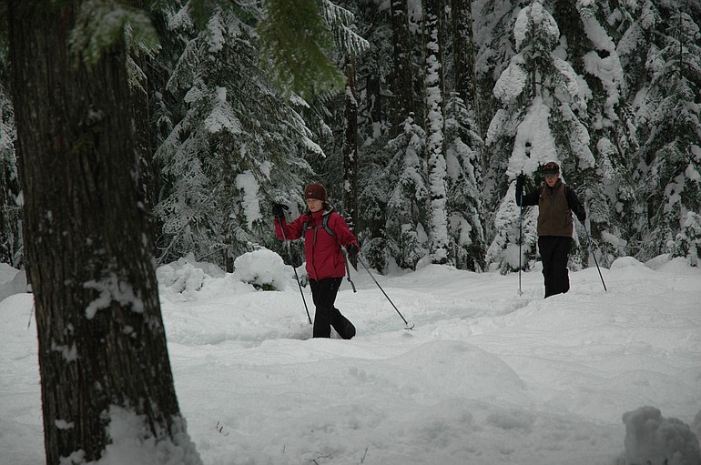
Skiers were breaking trail at Oldman Pass and on the road to Ape Cave last weekend. Snowmobilers were trying, some unsuccessfully, to get their tow rigs to the Cougar and Marble Mountain lots.
At McClellan Meadows Sno-Park, there were 18 to 24 inches of snow. Snowshoers were heading up road No. 3053 in search of Christmas trees.
The backwoods are ready for a winter of fun early this year, and conditions should improve as storms intermittently dump more snow.
There are three main winter recreation areas in the southern Pinchot, and each has its positives:
• The south side of Mount St. Helens (Cougar, Marble Mountain sno-parks) is the closest to most of Clark County.
• Skiers-snowshoers and snowmobilers have separate areas at Wind River (Oldman Pass, Koshko, McClellan Meadows, Rush Creek and Lone Butte sno-parks).
• The trails north of Trout Lake on the south side of Mount Adams (Atkisson, Flattop, Pineside, SnowKing and Smith Butte sno-parks) are the farthest away, yet generally have the best weather, best snow and most solitude.
Maps for all three areas can be found online at http://www.fs.fed.us/gpnf/recreation/winter.
A Washington state sno-park permit is required to park at the Gifford Pinchot sno-parks. The cost is $21 per day and $41 for the season. The permits are honored at winter recreation lots in Oregon.
Staff of the Gifford Pinchot National Forest monitor and report the snow depth in five areas of the forest. Those reports also can be found online at http://www.fs.fed.us/gpnf/recreation/winter/current-conditions.shtml.
The Natural Resources Conservation Service has automated snow-measuring sites that report hourly to the agency’s web site.