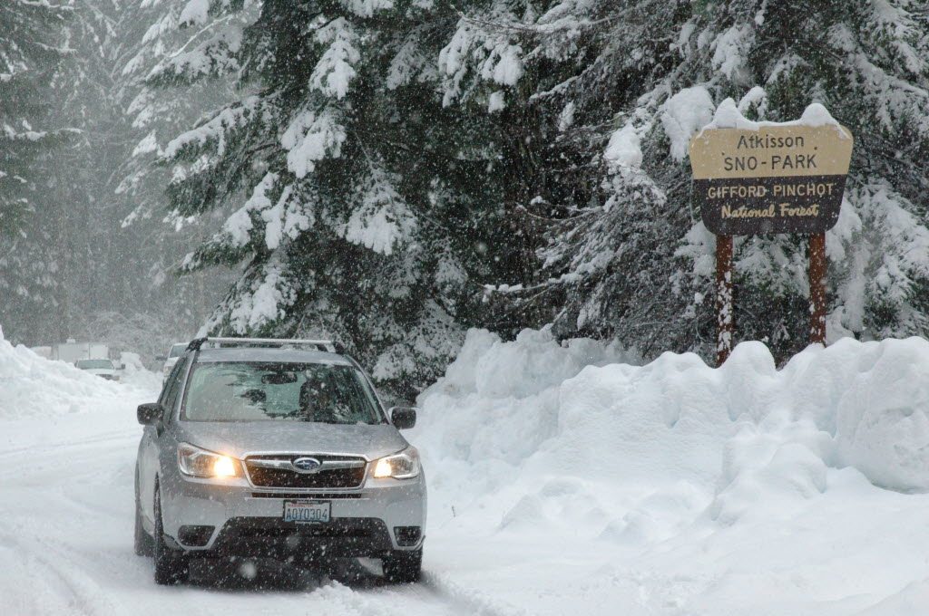
Recent heat waves brought record-breaking temperatures and put the squeeze on the Lower Columbia Basin’s snowpack.
In less than a month, the region’s snowpack went from 108 percent of normal to 83 percent of normal, a net loss of almost 10 inches of snow water.
“Our melt curve is way steeper than what we’d normally be at,” said Scott Pattee, a water supply specialist with the U.S. Department of Agriculture’s Natural Resources Conservation Service. “On a normal curve we’d be less than a week into the melt phase. Now we’re three weeks into the melt phase.”
Still, that’s not a reason to panic, he said. Even though the snow is coming off the mountains early, most of it will fill the reservoirs downstream.
“We’re going to have plenty of water this summer, especially in the Lewis and Cowlitz basins and the main stem of the Columbia is going to be fine,” he said.
Typically, snow levels in the Lower Columbia Basin peak in the first week of April. This year they peaked in the last week of March. At that point the regional average snow water content in the mountains was about 45 inches. As of Monday, it was 35 inches.
Early last week, a high-pressure system sat along the West Coast from Washington down to California, causing the air to sit still and heat up, resulting in several new record high temperatures throughout the region. The wind that did blow came from east of the Cascades and carried with it only a few insulating clouds and very little moisture.
“It was a remarkably warm weather pattern. It was like an August weather pattern,” said Laurel McCoy, a meteorologist in the Portland office of the National Weather Service. “If it would have been August we would have had 100-degree temperatures.”
The high temperatures are not the only reason why the snow melted so fast. Last winter’s El Ni?o was particularly strong and it brought lots of precipitation, so most of Washington state had above-average snow levels all winter. And, according to Pattee, the snow was “ripe” during the winter, meaning it was full of a lot of water due to a high number of rain-on-snow events.
“The bucket was full before the high temperatures,” he said. “(The heat) was enough to tip that water bucket back over and tip it out.”
The snowpack decline isn’t universal throughout the region. Places like June Lake and the upper parts of the Lewis River Basin are still above average. Most of the melt occurred on the south side of Mount St. Helens and in the lower elevations around Mount Hood.
The Natural Resources Conservation Service plans to measure the Mount Hood snowpack Thursday.


