It will never qualify as one of the classic trails of Mount St. Helens, at least not visually.
Yet Hummocks No. 229 — with its chaotic landscape of dirt mounds and ponds — should be on local hikers’ bucket list.
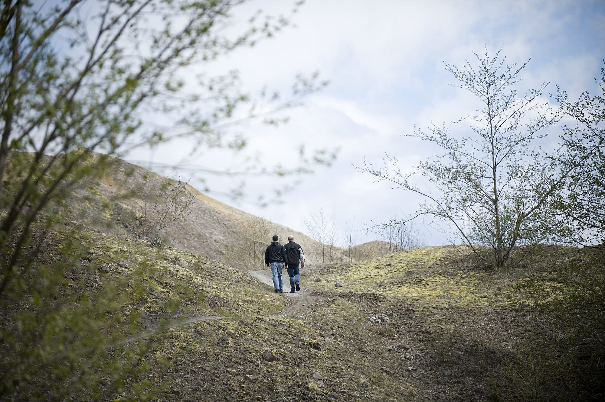
Hummocks is not a river trail, not a meadow trail and not a deep forest trail.
But the terrain it passes through in its 2.55 miles definitely is worth a look.
“It’s among the most diverse and interesting landscapes at Mount St. Helens,’’ said Peter Frenzen, monument scientist at the Mount St. Helens National Volcanic Monument. “That area on the pumice plain and in the hummocks is a natural lab at the volcano.’’
When the volcano erupted in 1980, much of the guts of the mountain were scattered. The hummocks are a jumble of sharp ridges, steep faces and several water-filled depressions.
Streams run through the hilly terrain. With every hard rain storm and pond break, the hummocks change a little.
Hummocks trail No. 229 loops through the area, where willows, alder, Douglas fir, mountain hemlock and Indian paintbrush are reestablishing. The ponds are home for mallards and mergansers. Beavers have dammed a pond.
The trail swings close to the upper North Fork of the Toutle River, but never quite goes to the water’s edge. The loop can be hiked in either direction.
“It’s one of the most interesting hikes,’’ Frenzen said. “It shows how diverse and productive what the volcano left can be.’’
Numbered posts are scattered along the trail. The Forest Service has prepared a guide corresponding to the numbers for the Hummocks trail that will be available this summer at the Johnston Ridge Observatory plus other Discover Your Northwest bookstores and available online.
The agency tried to make guide available at the trailhead, but they were gone quickly.
Hummocks trail is open all year, if road conditions make it accessible. It’s often still available in November and as early as February, depending on snow conditions.
State Highway 504 is gated during the off-season just beyond the Hummocks trail parking lot.
There’s no trail counter to know how much use the route gets.
“Hummocks might be more busy during the shoulder season than during the summer,’’ Frenzen said. “It’s at the end of the road (when gated), so people get there and take the hike.’
The Mount St. Helens Institute also has an ecology-based student curriculum that uses Hummocks trail.
Boundary trail No. 1, the major east-west hiking route across the Gifford Pinchot National Forest, begins 0.8 mile from the parking, if the trail is hiked clockwise.
Hummocks trail easily can be a side trip on a visit to Johnston Ridge Observatory, which opens for the season on May 14.