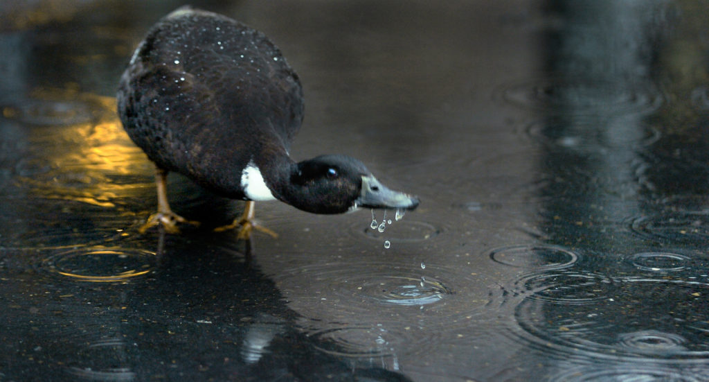
Forecasters expect strong, possibly tree-limb-snapping, power-cutting winds to accompany heavy rainfall starting Thursday afternoon.
The National Weather Service in Portland predicts that Thursday’s storm will be a powerful one, and a prelude to rainy weather through early next week.
Forecasters said 1 to 3 inches of rain may fall in inland areas and valleys in Western Oregon and Washington through Saturday. For Vancouver, forecasters predicted new rainfall totals between 0.75 to 1 inch Thursday and Thursday night.
Friday’s new rainfall totals were forecast at less than an inch.
As much as 3 to 6 inches of rain was forecast for the coastal mountains through Saturday, and about 2 to 4 inches in the Cascades.
The greater concern may be wind. In Vancouver, the weather service said it expected winds from 8 to 11 mph Thursday, with gusts as high as 18 mph. Wind speeds are forecast to increase to 23 to 28 mph, with gusts as high as 43 mph, Thursday evening.
“With deciduous trees still heavy with leaves, any moderately breezy conditions could wreak havoc with power lines inland,” according to Wednesday afternoon’s weather service forecast. Most inland areas are likely to see gusts of 25 to 40 mph Thursday night.
Weather service meteorologist Paul Tolleson said Wednesday evening that the center of today’s storm system appeared to be heading north toward Canada’s Vancouver Island.
“That’s a good track to get pretty strong winds along the coast, and we may see some wind inland as well,” he said.
Forecasters expect enough breaks in the storm that area rivers won’t flood, but the rain could mean flooding in low-lying areas, or along curbs with leaf-clogged drains.
Still, Vancouver’s Public Works department has made self-serve sandbag sites available at the former Golden Skate building, at 4915 E. Fourth Plain Blvd., and the Vancouver Public Works site at 912 N.E. 192nd Ave. Bring your own shovel.
Camas is also offering self-serve sandbags at the old Grass Valley Fire Station, 4010 N.W. Astor St.
“It’ll be pretty wet,” Tolleson said. “You’ll notice it.”
Winds a worry
Clark County Public Works said it is prepping for downed trees and soaked roads.
The brunt of the storm is forecast to hit the Oregon and Washington coasts. The weather service expected afternoon and evening gusts of 65 to 80 mph from the shoreline to the Coast Range. High-wind warnings have been issued for much of the coastline.
The National Weather Service issued a marine warning for the waters 10 to 60 nautical miles between Cape Shoalwater and Florence, Ore., for “life-threatening seas and strong winds increasingly likely later this week.”
Coast Guard spokesman Petty Officer 3rd Class John Klingenberg encouraged boaters to check weather and river bar reports before heading out.
He also recommended filing a float plan or letting someone know where the trip is going before getting underway.
Boat owners, even if they aren’t heading out this weekend, need to tie up their vessels, especially smaller boats and pedal craft, to ensure they aren’t dislodged by possible high winds and rough waters.
“Every time there is an unmanned and adrift vessel reported to us, we have to fly on it,” he said. “We have to assume that it is somebody in distress.”
Tolleson said forecasting models don’t predict with much confidence the severity or path of a new, possibly stronger, low-pressure front expected Saturday.
That storm is the remnants of Typhoon Songda east of Japan, according to forecasters.
Some models say it will head north, toward Vancouver Island, like Thursday’s front. Others say it will track toward Astoria, Ore.
Winds are expected to calm starting Sunday.