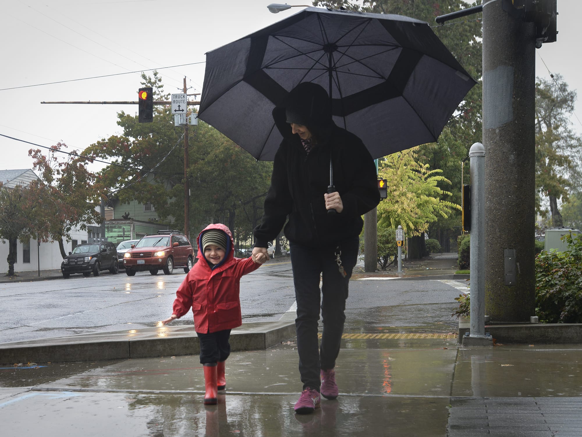
A toppled tree cut power to more than 2,000 customers in the Ridgefield area and rainy weather slowed commutes Thursday, but forecasters think the real storm is coming this weekend.
The National Weather Service in Portland issued a high-wind watch for Saturday as the remnants of a typhoon swirling over the Pacific Ocean west of Japan reaches the region.
That storm, dubbed the Ides of October storm by the weather service, is expected to hit the Willamette Valley and Clark County starting Saturday afternoon.
Forecasters said strong winds should start picking up around the central Oregon Coast on Saturday afternoon. Inland areas should expect gusty winds to kick up in the valley in the afternoon and spread north in the evening.
Forecasters said gusts could reach speeds of 35 to 45 mph, possibly 50 mph in higher-elevation areas.
“This storm has the potential to create damaging winds across a wide area,” the weather service said in its forecast discussion Thursday. “Winds could wind up being a bit stronger or weaker, as all depends on the storm track distance from the shore. Closer to shore, stronger the winds.”
The strongest winds aren’t expected until the early evening.
Weather service forecasters said Thursday afternoon their computer models are still working, but all show a similar storm track from the southwest up to Cape Flattery, at the tip of the Olympic Peninsula.
Forecasters don’t expect any flooding beyond leaf-clogged and poorly drained roadways or low-lying areas in Clark County and nearby. The weather service predicted new rainfall up to 1.75 inches through Saturday.
Friday’s forecast for the Portland-Vancouver metro area calls for rain and breezy, though not out-of-the-ordinary, winds: 14 to 20 mph with gusts up to 31 mph.
New precipitation of up to an inch is possible, forecasters said.
Since the rain started late Wednesday night, Pearson Airfield saw 1.58 inches of rainfall as of 10 p.m. Thursday, according to the National Weather Service. The peak wind gust at Pearson hit 26 mph at about 9:30 p.m. There were scattered reports of downed trees and power lines Thursday night as winds picked up.
Sand Bags
Self-serve sand bag sites are being made available at:
• Vancouver: The former Golden Skate building, at 4915 E. Fourth Plain Blvd., and the Vancouver Public Works site, 912 N.E. 192nd Ave.
• Clark County: County public works sites at 4700 N.E. 78th St. and 11608 N.E. 149th St.
• Camas: At the old Grass Valley Fire Station, 4010 N.W. Astor St.
• Battle Ground: 1308 S.E. Grace Ave.
• Ridgefield: Abrams Park
• Washougal: 2300 block of North L Street, Silver Star Search & Rescue at 13th and A streets, the public works building at 2201 C St.
The only major outage, in Ridgefield, was reported around 10 a.m. Another outage knocked out power to some customers around Woodland, but both were addressed fairly quickly, Clark Public Utilities spokeswoman Erica Erland said.
“For the start of what’s looking like a blustery few days, we were able to keep up and keep people’s lights on today,” she said.
The utility has dozens of workers and contractors lined up for Saturday’s storm.
“We’re prepared — as much as you can when you have kind of a dynamic system on the horizon,” she said.
Jeff Mize, spokesman for Clark County Public Works, said Wednesday was fairly quiet.
Public works crews have already fitted some trucks with plows to move fallen trees out of roadways if need be come the weekend, and they’re waiting on the next briefing from forecasters.
“I think the real big news is what’s going to happen on Saturday,” he said.
The National Weather Service’s Seattle-area office expected harsher weather to the north. Forecasters there said the strongest winds Thursday were predicted along the coast and Northwestern Washington, with gusts of up to 70 mph predicted. Gusts were expected to hit 45 to 55 mph in the Puget Sound region.
Information from the Associated Press contributed to this report.