<img height="1" width="1" style="display:none" src="https://www.facebook.com/tr?id=192888919167017&amp;ev=PageView&amp;noscript=1">
Friday,  April 26 , 2024

Linkedin Pinterest
News / Clark County News

Rising river might mean more bridge lifts

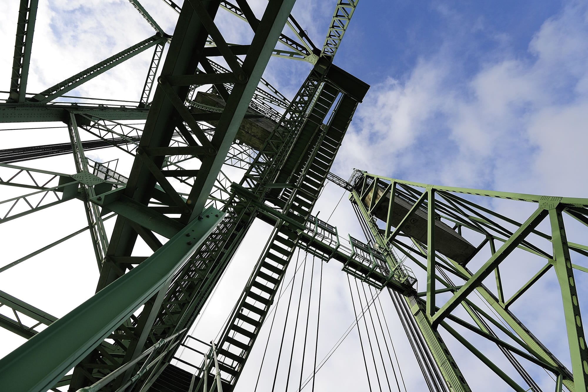
Raising I-5 Bridge due to Columbia floods hits travelers

By Dameon Pesanti, Columbian staff writer
Published: March 21, 2017, 9:09pm

Interstate 5 commuters may notice longer than usual travel times into Oregon thanks to flooding in the Columbia River.

The Oregon Department of Transportation is reporting a recent increase in the number the I-5 Bridge lifts since the Columbia started flooding.

“We are getting close to averaging two per day,” said Oregon Department of Transportation spokesman Don Hamilton. “You get more lifts on that, it’s going to create more delays on the highway.”

But by Tuesday afternoon, the bridge already lifted four times before 1 p.m., stopping traffic for just under an hour but causing extended backups on the freeway.

At the Interstate 5 Bridge, the water level is typically six feet. Currently, the river is in minor flood stage, hovering around 16.5 feet, and moving swiftly.

Under typical circumstances, a boat might opt to go under the bridge’s hump at the Oregon side of the river then angle back toward the Washington shore to set up for the northern swing span of the railroad bridge a half-mile downstream. But during high water and fast flows, the maneuver may seem too challenging for some vessels, so they opt to use the lift span instead, which is a straighter path, Hamilton said.

While federal law gives marine traffic priority over freeway traffic, lifts are prohibited between 6:30 and 9 a.m. and 3:30 and 6 p.m. on most weekdays. The average lift can take between 15 and 20 minutes, though they sometimes last longer.

In 2015, an average of more than 132,000 vehicles crossed the Interstate 5 Bridge per day.

The Columbia is expected to remain above 16 feet through the end of the week, and possibly longer. The National Weather Service predicts the Columbia will reach 17.25 feet by Thursday afternoon.

Officials are blaming the circumstances on excessive rain and early season snowmelt in high elevations of the Columbia River Basin. A compounding factor is whether the dams further upstream into Canada and along the Snake River will have to begin releasing water from their reservoirs to make room for snowmelt.

A similar situation unfolded in 2011 when the Columbia crested at 19 feet. But that level was well below the river’s biggest moments.

The highest crests in recorded history on the Columbia River at Vancouver are:

1: 31 feet, June 13, 1948.

2: 30.80 feet, June 1, 1948 (two days after the Vanport Flood).

3: 27.70 feet, Dec. 25, 1964.

4: 27.60 feet, June 4, 1956.

5: 27.20 feet, Feb. 9, 1996.

6: 26.30 feet, June 6, 1933.

7: 26.20 feet, May 31, 1928.

8: 26 feet, June 12, 1921.

9: 25.90 feet, June 26, 1950.

10: 25.60 feet, June 16, 1903.

Mark Bowder contributed to this report

Loading...
Columbian staff writer