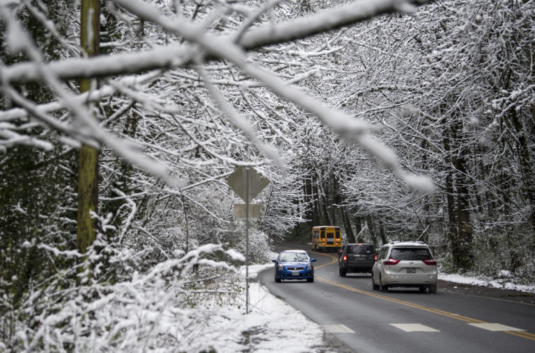
After two days of closures and delays for snow around Clark County, forecasters expect a reprieve from disruptive snowfall Friday. But it’ll still be wintry out, with below-freezing temperatures and patchy freezing fog in the morning.
“Temperatures in the morning are probably going to be the coldest of the year,” said Evan Bentley, a meteorologist at the National Weather Service in Portland.
Forecasters predict temperatures in the low 20s to carry through Friday morning in the Vancouver area, before reaching the upper 30s in the afternoon.
Rain and snow are likely after 10 a.m. Bentley said Thursday night it appeared the precipitation might start out as snow, but with surface temperatures above freezing, it seemed unlikely to accumulate substantially before turning to rain.
Friday night’s low will be around 35 degrees, with rain and snow likely. Again, little or no snow accumulation is expected in the Vancouver area.
Bentley said areas with elevations around or above 500 to 1,000 feet have the greatest chance of seeing some snow accumulation, possibly 1 to 2 inches’ worth.
He added it’s possible some slick spots on county roadways might hang around today, more so if temperatures don’t rise as high or as soon as expected.
Forecasters are calling for on-and-off rain through the weekend, with high temperatures in the low 40s and low temperatures in the mid to upper 30s.
But winter isn’t over yet, Bentley noted.
“As we get into next week, we still have cold air around, and chances for snow to get down to the valley floor,” he said.
While the lower elevations will likely see rain, he added forecasters expect the Cascades will get hammered with snow over the weekend.
“They’re going to be counting snow in feet,” he said.