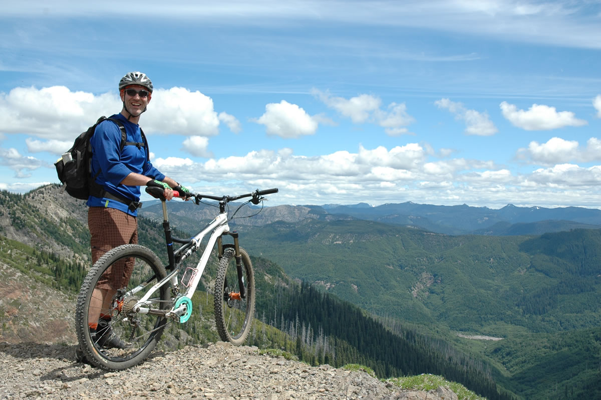
Paul Karr of Bend lives in the epicenter of Northwest mountain bike riding.
Yet, during a one-day break in the constant low clouds and showers of late June, Karr hustled up to Mount St. Helens to ride Ape Canyon trail No. 234.
“It’s just a cool environment to get to ride on such a big mountain,” said Karr. “It’s so deceiving, the terrain.
Getting there: From the rest area in Cougar in southern Cowlitz County, follow the highway east for 6.75 miles to the junction with Gifford Pinchot National Forest road No. 83. Turn left and follow road No. 83 for another 11 miles to the trailhead. Be sure to start at the Ape Canyon trailhead, not the larger Lava Canyon trailhead nearby.
Parking pass; A Northwest Forest Pass is needed at Ape Canyon trailhead. It costs $30 for 12 months. Day passes can be bought for $5 at nearby Lava Canyon trailhead.
Tips: Bring water. This a dry trip.
Web sites: www.fs.gov/mountsthelens (Monument's main web site). Eruption information and photos at www.mshslc.org (Mount St. Helens Science and Learning Center)
Tips: Bring water. This a dry trip.
Web sites: www.fs.gov/mountsthelens (Monument’s main web site). Eruption information and photos at www.mshslc.org (Mount St. Helens Science and Learning Center)
It’s hard to judge the distance it’s so big.”
The trail climbs steadily for 1,300 vertical feet and 4.8 miles from the trailhead at the end of Gifford Pinchot National Forest road No. 83 to the junction with Loowit trail No. 216.
“It’s a grunt,” Karr said. “It’s a hard climb and a super sketchy downhill. You grab too much brake and you’re going right off the edge.”
Tony Sanchez of Portland paused at the Plains of Abraham on the Loowit trail waiting to head back down the Ape Canyon route.
Asked to rate the trail, Sanchez said: “There’s several components. For scenery, it’s a 10. For technicality, it’s a 10…Going down is going to be amazing. The descent will be awesome — five miles of down.”
Ape Canyon trail is the favorite route of mountain bike rider in the Mount St. Helens National Volcanic Monument,” said Peter Frenzen, monument scientist.
“No doubt about it,” he said.
Sanchez rated the scenery a 10 on the trail. By the time the wildflowers hit their peak in late July, that will be an accurate rating.
The Plains of Abraham, in particular, will have great displays of lupine with its showy purple-blue flowers.
The hike or ride up Ape Canyon trail is a steady climb.
The elevation is 2,895 feet at the trailhead and 4,202 feet at the junction with Loowit trail No. 216. That’s a bit more than 1,300 feet spread out over 4.8 miles, so the grade is not excessive.
Dominating the views are the Muddy River lahar just to the west. Lahar is an Indonesian word for mudflow.
The southeast side of Mount St. Helens has had many lahars over geologic time, including a huge one as part of the massive May 18, 1980 eruption.
On the morning of May 18, the 8:32 a.m. eruption melted the ice of Shoestring Glacier sending a cool mudflow down and across road No. 83, through Lava Canyon and down the Muddy River.
By noon, the lahar had entered the upper end of Swift Reservoir. The lake had been lowered in advance in case of an eruption and mudflow.
Frenzen said in the afternoon of May 18 hot pyroclastic flows spilled out of the crater sending a warm slurry on to the Plains of Abraham and down Ape Canyon and into Smith Creek and the Muddy River.
Photos over time since the eruption show the lahar is reforesting relatively quickly, he said.
“There’s green forest on both sides,” Frenzen said. “Seeds are being blown into the lahar and the trees are working their way in from the sides. There are lots of animals moving in and out of the adjacent forest and seeds get carried in that way, too.”
Just before the junction with Loowit trail No. 216, Ape Canyon trail reaches the head of Ape Canyon.
The canyon received its name in 1924 when a pack of miners claimed they had shot a giant ape creature, then were attacked by a group of them during the night.
The slain Sasquatch allegedly fell into an abyss, known since as Ape Canyon.
Supposedly, the 7-foot apes tossed big rocks onto the cabin roof.
The following day, the men escaped to their car and back to Kelso. They led a posse back in search of the apes. None were seen, but witnesses returned with stories of tracks and huge stones on the cabin roof.
Once at the junction with Loowit trail, hikers and riders should take a right and visit the Plains of Abraham.
It takes less than an additional mile to visit the almost-flat Plains and well worth the effort.