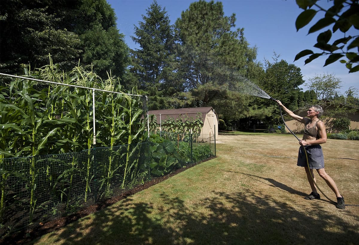
Clouds rolled into Southwest Washington on Monday like an electric blanket, adding insulation to a heat wave that tied the Aug. 11 high temperature record for Vancouver at 98 degrees.
The warmth was evident Monday to anyone without air conditioning. The electricity was expected to be on display overnight, with dry lightning strikes in the Cascades and foothills, and possibly in the Portland metro area.
Firefighters were braced for the possibility they could receive reports of multiple new wildfires today and in the next few days. A red flag warning was issued, signifying extreme fire danger.
Monday dawned clear, but gave way to humidity and an overcast sky by evening — an unusual weather pattern in Clark County.
The temperature at Pearson Field reached 98 degrees around 4 p.m., which tied both the record high for 2014, set on July 1, and the record high for Aug. 11, set in 1961.
“I’m not ready to say it’s going to be the hottest day of the year, because we can get pretty hot into September,” said Jeremiah Pyle, a meteorologist with the National Weather Service in Portland. “But it’s certainly the hottest in the next seven days.”
Monday also seemed certain to break the warmest low overnight temperature for Aug. 11. That record was 65 degrees, set in 2009.
“Most likely that record will fall,” Pyle said earlier in the day.
The warm air came first from the interior west, Nevada and Eastern Oregon. Then it shifted, with an upper-level closed low-pressure system spinning unstable air counterclockwise to us from the San Francisco Bay area. It will be followed by a second front today that will bring cooler marine air from the Gulf of Alaska.
“It’s a fairly difficult forecast going into the middle of the week,” Pyle said. “It’s actually one of the better thunderstorm systems we’ve seen in quite a while.”
Today’s forecast calls for partly sunny skies, with a 30 percent chance of showers or thundershowers, and a high of 85. Wednesday should be showery and cool, in the mid-70s, Pyle said.
“There’s no really hot days for a while,” Pyle said.


