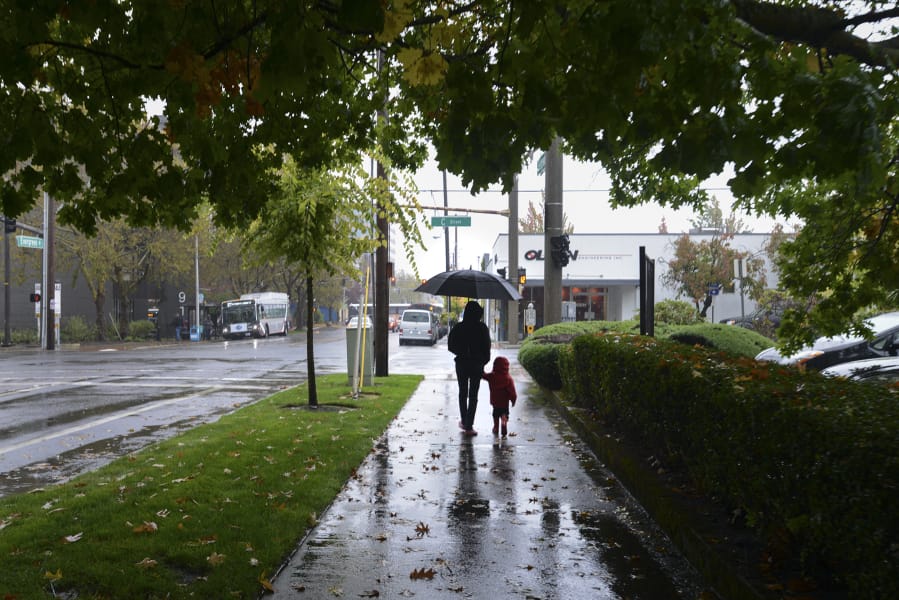
The National Weather Service in Portland is expecting more damp weather moving into midweek as forecasters see one storm front following another through Tuesday.
Monday night’s warm front should linger through Tuesday, bringing one-third to a half-inch of rain before moving on, meteorologist Amanda Bowen said.
“It looks like it’s going to be a bit of a juicy system,” Bowen said. “Probably the heaviest rain will be during the morning hours.”
Another storm front is expected to follow, she said, bringing more rainfall Tuesday evening.
“We’re looking at anywhere from a half to an inch, and even a little bit more than that in 24 hours,” Bowen said.
Tuesday is also forecast to be blustery in the Vancouver area, with south winds from 10 to 18 mph and gusts as strong as 26 mph.
Wednesday ought to be a bit more dry, Bowen said. Forecasters were calling for a 40 percent chance of rain, with about a quarter- to a half-inch of new precipitation.
Rain is expected to return for the rest of the week and into the weekend, according to the weather service, with possibly lighter rainfall Friday night and Saturday.
National Weather Service records show Vancouver has seen 6.31 inches of rain, measured at Pearson Field, since Oct. 1, the official start of the rainy season. That’s more than 4 1/2 inches behind the normal pace from 1891 to 2018.