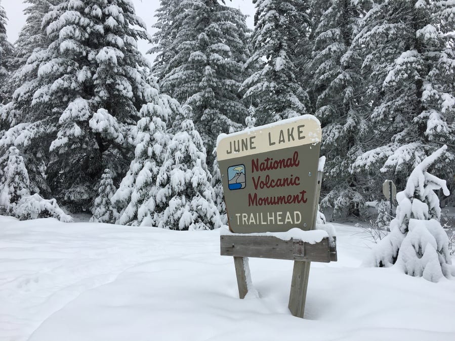
Weeks of colder temperatures and consistent heavy precipitation has bolstered the snowpack in Oregon and Washington’s mountain ranges, bringing snow levels closer to the long-term average.
Basins up and down the Cascades in Washington and Oregon are still around 10 to 15 percentage points away from the average snow water equivalent, forecasters’ measure for snowpack.
Eastern Washington basins have improved as well, and forecasters expect conditions to improve soon, as rain and snow are forecast for parts of the region in the next week or so, said Tyree Wilde, warning coordination meteorologist at the National Weather Service in Portland.
“This is just going to get better over the next few days,” he said. “This snowpack is just going to continue to build.”
Many basins were well below the normal snowpack levels until around Feb. 9-10, when heavier snow came to the region, even bringing a few inches to parts of Clark County including Camas and Washougal.
“The weather pattern basically changed. We’re in kind of a cool, wet pattern right now,” Wilde said.
The Middle Columbia-Hood basin, which includes Clark County, was at 89 percent of the average normal snow water equivalent as of Friday, according to the Natural Resources Conservation Service’s monitors. On Feb. 8, the basin was at 64 percent of normal.
Save the Central Puget Sound Basin’s 80 percent of normal, most of Washington’s basins are about 10 percentage points from normal snowpack levels.
Oregon saw similar improvements, and most of eastern Oregon’s basins’ snowpack has grown to well above average.
That snowpack is key for water supplies around the region through the rest of the year, including for agriculture east of the Cascades.
“This is great news as we get into the summer months, for irrigation, for fish migration, for recreation,” Wilde said.
When will the cold, wet weather end?
National Oceanic and Atmospheric Administration climate predictions for March aren’t especially conclusive, with an equal chance of above- or below-average temperatures and total precipitation for the Northwest.
Longer term, forecasters expect a 50 percent chance of above-average temperatures for the Northwest for March, April and May, again with equal chance for above- or below-average total precipitation.
Although the past weeks’ precipitation has brought an improvement, about half of Washington is still considered “abnormally dry,” according to the U.S. Drought Monitor, with more than half of Oregon in “severe” to “extreme” drought.