<img height="1" width="1" style="display:none" src="https://www.facebook.com/tr?id=192888919167017&amp;ev=PageView&amp;noscript=1">
Friday,  April 26 , 2024

Linkedin Pinterest
News / Clark County News

Snow possible late Sunday, Monday following rain

Low-pressure fronts forecast to roll into region starting Friday

By Andy Matarrese, Columbian environment and transportation reporter
Published: January 31, 2019, 9:10pm

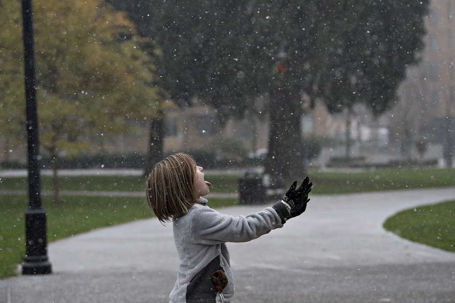
Forecasters expect the high-pressure system that’s been hanging around the Pacific Northwest to give way to rain through Sunday, then possibly snow Sunday night and Monday in the Vancouver area.

Forecasters at the National Weather Service in Portland say a low-pressure system will roll into the region starting Friday, bringing rain. Afterward, starting Sunday, another low-pressure front will come through with even colder temperatures, weather service meteorologist Amanda Bowen said.

That might mean low-elevation snow late Sunday or Monday.

“It’ll definitely bring in some cold temperatures, at the very least,” she said.

It’s almost a sure thing there will be snow in areas above 1,000 feet, Bowen said, but forecasters weren’t confident the conditions will be right to bring snow to the lowlands.

“Even if we do get air cold enough, the question is, is there going to be any moisture still around?” Bowen said.

Rain is forecast Friday for Vancouver, with between a quarter- and half-inch of rain possible.

The rain will most likely continue Friday night, with a 50-50 chance of rain Saturday and Saturday night.

Rain is also likely Sunday.

High temperatures should hang around the mid- to high 40-degree range, along with lows in the high 30s, until Sunday night.

There’s a chance for rain and snow Sunday night through Tuesday night.

Bowen said cold temperatures early next week, with highs in the low 40s and lows around 30, are forecast to stick around until roughly Wednesday.

Loading...
Columbian environment and transportation reporter