In one of the rare instances Clark County residents might be thankful for chilly, wet and generally bleak weather, Wednesday saw relatively warmer temperatures and steady rainfall begin to wash away the past several days’ accumulated snow and ice.
Schools, government and business offices are planning to be open as usual Thursday. Freeways and many arterial streets were bare and wet.
Lingering ice and snow remained a problem east and toward the Columbia River Gorge — state Highway 14 closed for an avalanche, and Interstate 84 was closed overnight — and wet, slushy streets may present risk of hydroplaning.
Still, the county seems to be warming back up. Weather equipment in Yacolt recorded a high temperature of 53 degrees. Pearson Field was 37 degrees. Washougal, 37 degrees.
Pearson Field saw 1.3 inches of rainfall from 6 p.m. Tuesday to 6 p.m. Wednesday.
Thursday in Vancouver, showers are likely before 4 p.m., and the day’s high temperature should be around 45 degrees. New rainfall between a tenth and quarter of an inch is possible. More rain is likely after 10 p.m., and Thursday night’s low will get down to about 36 degrees.
Miles Higa, a meteorologist at the National Weather Service in Portland, said colder temperatures are expected later in the week, but they shouldn’t drop down to freezing in most areas.
Likely rain with high temperatures in the 40s and lows above freezing are forecast through Sunday.
Snow levels should stay in the mountains through the week, he said, but they may creep down to the foothills later on this week.
“It might get cool enough to where it gets pretty close,” he said.
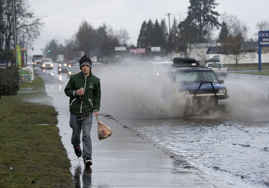
The weather service received multiple reports Wednesday of sporadic high water, he said, many in Oregon’s Washington County. In Clark County, standing water inundated one portion of state Highway 503 near Northeast 87th Street in Vancouver.
Higa said the remaining slush on the roads could stick around for a day or two, depending on where it is.
His street in Portland still had a couple of inches of snow and slush Wednesday. Residents in other neighborhoods, however, might wake up Thursday morning to find most of it has melted away, he said.
“A warm rain can take care of it pretty quick,” Higa said.