


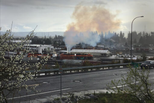
Smoke and steam billowing from locomotives parked at BNSF Railway’s maintenance yard near West 39th Street has some residents worried about what’s ending up in…

California fast-food chain In-N-Out has proposed a second restaurant in Clark County — this one at 13511 S.E. Third Way in east Vancouver, according to…
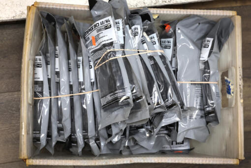
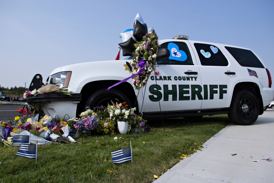
High-capacity magazines, those holding more than 10 bullets, will remain illegal to buy or sell in Washington, while the state appeals a lower-court ruling that…

The Seattle Seahawks filled a need on the defensive front, selecting Texas defensive tackle Byron Murphy II with the No. 16 pick of the first…

Supreme Court arguments have begun over whether former President Donald Trump can avoid prosecution over his efforts to overturn his 2020 election loss to Democrat…
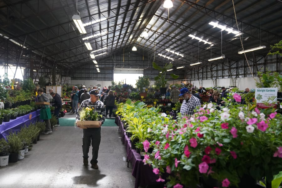
Every school has a few names and faces it wouldn’t be the same without: the cool teacher, the favorite substitute or the principal who’s been…
Help make a difference. Get involved in the Clark County community.
The day’s top stories delivered right to your inbox!

Actor Ashley Judd and singer-songwriter Aloe Blacc, who both lost loved ones to suicide, on Tuesday helped the Biden administration promote its new national strategy…
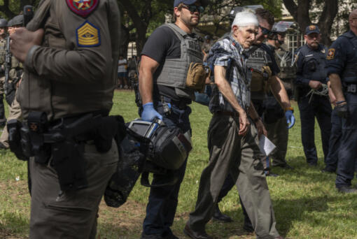
With graduations looming, student protesters doubled down early Thursday on their discontent of the Israel-Hamas war on campuses across the country, with multiple arrests made…

We'll be in touch if we look into your question.
Thanks for submitting your Clark Asks question. If we're able to investigate it further, we'll get in touch with you. Feel free to encourage your friends to ask questions, too!